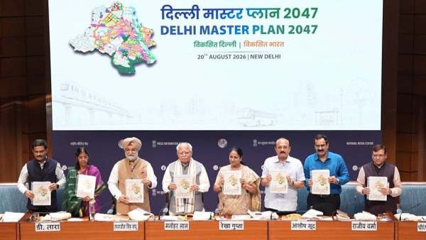
Delhi’s Master Plan-2047 introduces a 3D Digital Twin of the city using GIS data, urban sensors and government systems to improve planning. Developed by the Delhi Development Authority, the digital model will simulate development scenarios, integrate infrastructure data and support technology-driven urban governance through real-time information and geospatial systems.
A 3D digital replica of Delhi will be developed using real-time data from urban sensors and government systems to simulate and assess development scenarios before they are implemented on the ground.
The Delhi Development Authority is developing the “Digital Twin of the city” as part of spatial planning under the Master Plan for Delhi-2047. The initiative will shift urban planning from conventional 2D maps and manual data to digital modelling.
The model will combine geographic information system (GIS) data with real-time inputs to visualise the city’s urban systems and assess the likely impact of proposed developments.
GIS and real-time data to drive planning
-
Do you have multiple SIM cards? The government is set to publish photos; find out what the rules are..

-
Elon Musk's Starlink makes another attempt to enter India; applies for satellite network license..

-
UP Board: UP Board has revised the schedule for determining examination centers; the process will begin on August 24..

-
NTA Answer Key: NTA clarifies the ₹200 fee—money will be refunded for valid objections; will all students benefit?

-
A big gift from Google for students! New AI tools to help with NEET, JEE, and GRE preparation..